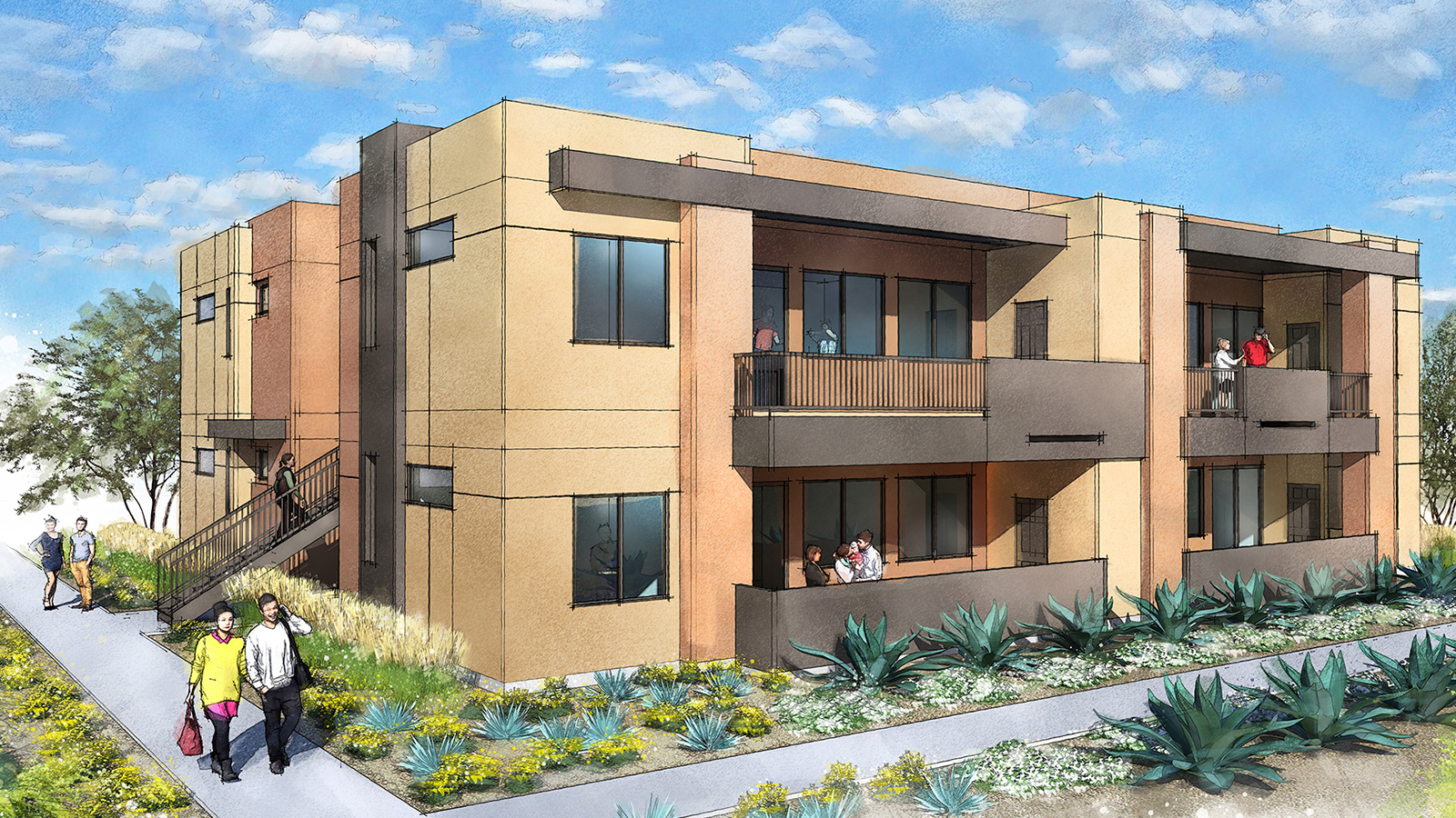
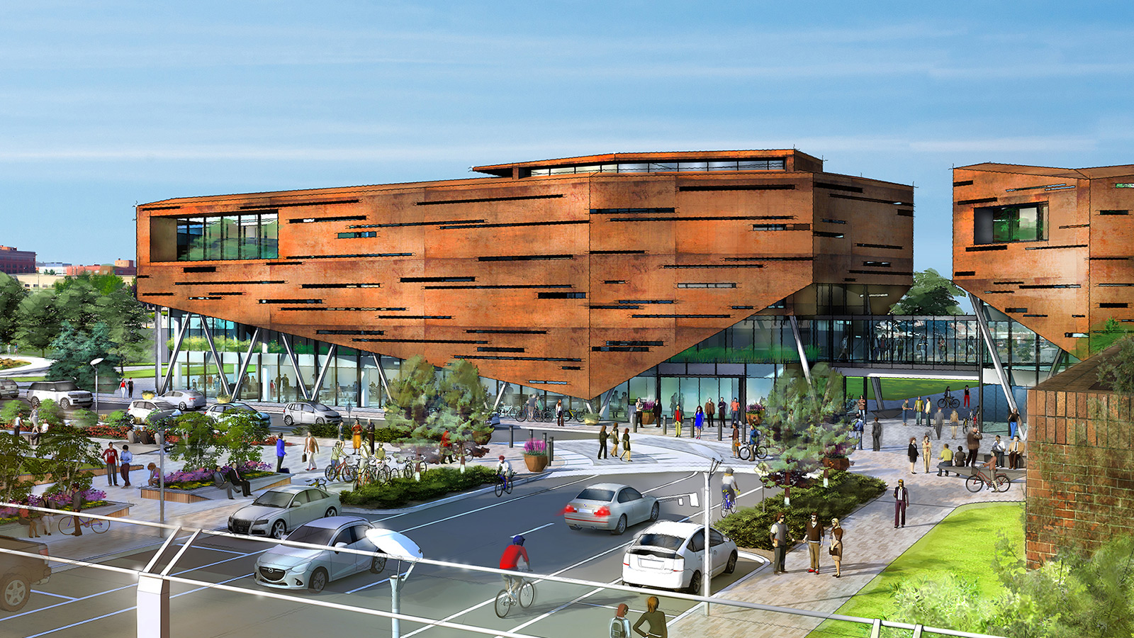
Illustrations are powerful tools to coalesce ideas and depict concepts. The Planning Center crafts attractive maps and engaging site illustrations that bring an audience into the planning process. We prepare visual exhibits that address site constraints, concerns, opportunities, and community values.
The Planning Center utilizes the latest AutoCAD, ArcGIS, SketchUp, and Adobe Creative Suite programs to analyze a site and create visual aids that support our planning and landscape architecture services.
Gallery Instructions
(Click on an image below to enlarge, or click the left/right arrows to cycle through the images.)


Our Illustration and Mapping Services:
- 3D Digital Site Modeling
- GIS (Geographic Information Systems) Data Collection, Mapping, and Analysis
- Land Use Maps
- Marketing Brochures
- Non-Photorealistic (NPR) Rendered Site Illustrations
- Photo-Simulations and Viewshed Studies
- Presentation Boards
- Rendered Architectural Elevations
- Rendered Site Plans